

ClimaMRI™
Precision Climate Risk Diagnostic SolutionDetecting Hidden Climate Risks Between Observation Networks Early
With high-quality data and AI analysis, we precisely diagnose localized climate risks hidden between observation networks to support rapid response decision-making

Localized Risk Diagnosis
Detecting hyperlocal extreme weather that conventional systems miss
Early Risk Detection & Response
Identifying risk signals before damage occurs
Site-Specific Diagnosis
Reflecting asset-specific risk thresholds
Integrated AI Platform — From Observation to Decision-Making
Real-Time Monitoring, Risk Prediction, and Early Warning in One Platform
Combining field IoT sensors and satellite observations with AI, we predict hazardous weather and deliver early warnings. From observation to monitoring, prediction, alerting, and decision-making — we integrate climate risk management for industrial sites.
AI-based quality control
Ground IoT, satellite, high-resolution data integration
Site data pattern analysis tailored to each industry
Decision-making platform via anomaly detection and prediction
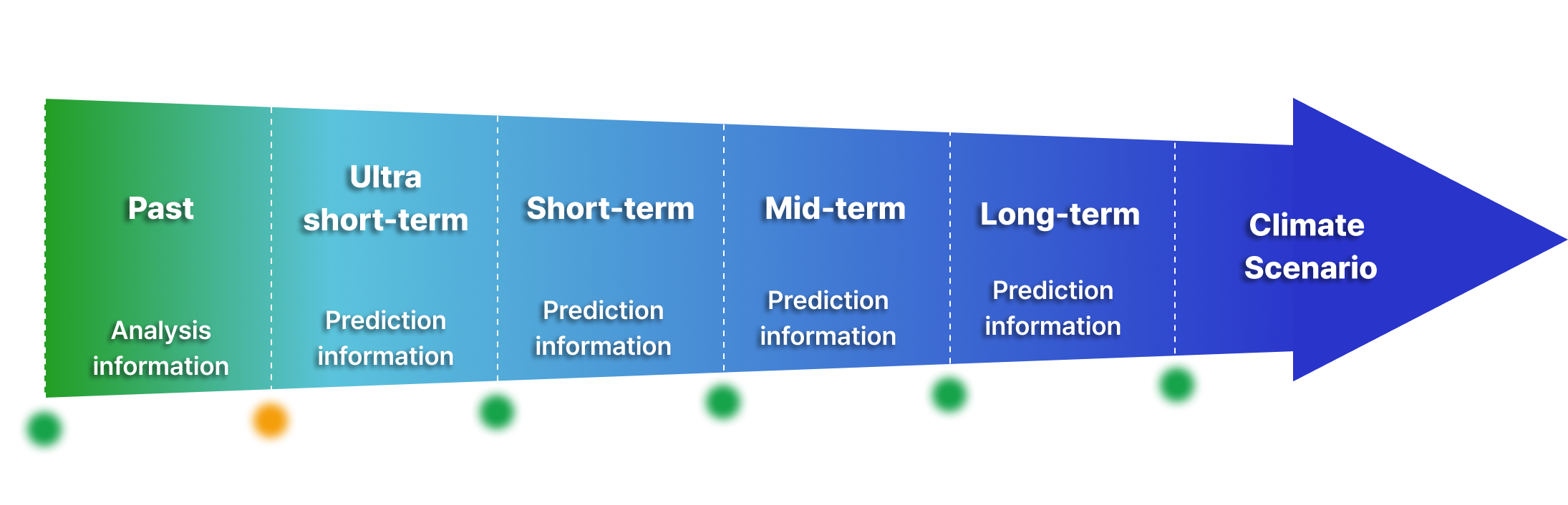
Providing Differentiated Diagnosticsfor Industrial Sustainability
- Minimize large insurance payouts with early warnings
- Provide loss probability and damage scale data per asset
- Stabilize water supply through capacity-based predictions
- Prevent floods and droughts via water management systems
- Proactive schedule management before hazards
- Create a safe working environment for efficiency
- Identify hyperlocal risk points
- Optimize rapid response and support
- Precise monitoring of hazardous weather affecting plant operations
- Maximize equipment protection and generation efficiency
- Reflect crop-specific climate sensitivity
- Increase yields and optimize operations
- Customized advance warnings for distribution networks
- Minimize delivery disruptions and losses
A tailored solution reflecting industry-specificthresholds and operating conditions,connecting climate data to real decision-making
Core Servicesfor Climate Risk Management
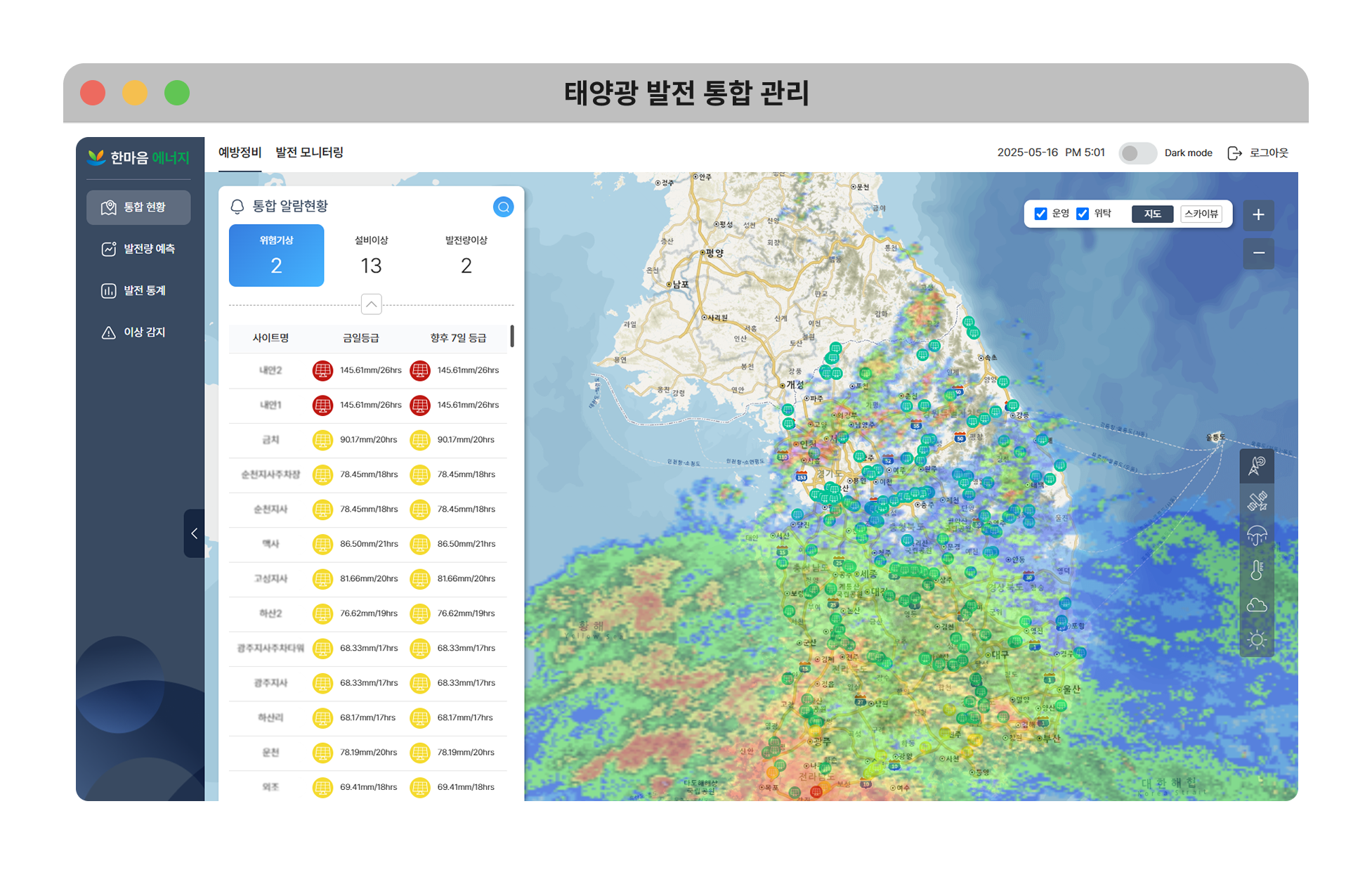

Integrated Solar Power Management
Climate risk diagnostics for power plant infrastructure and anomaly detection for cost reduction, with weather-responsive energy operation optimization
- Applicable to 174,923 solar power plants
- Reduce operational costs
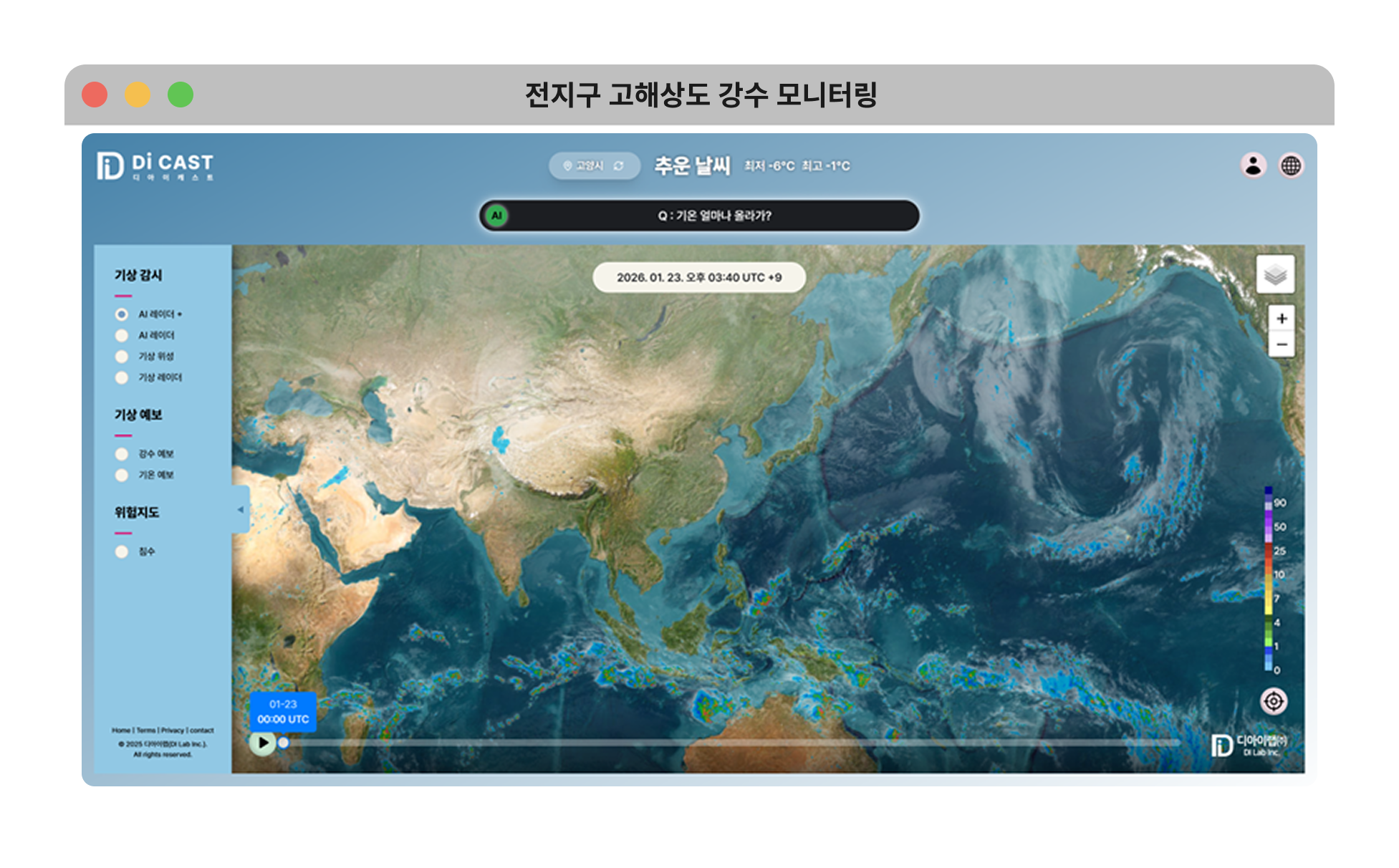

Global High-Resolution Precipitation Monitoring
Global weather insights combining satellite and radar — our AI radar map covers even areas without observation infrastructure
- Global coverage combining satellite + radar
- Resolve radar blind spots (Generative AI)
- Verified accuracy of CSI 0.6–0.9
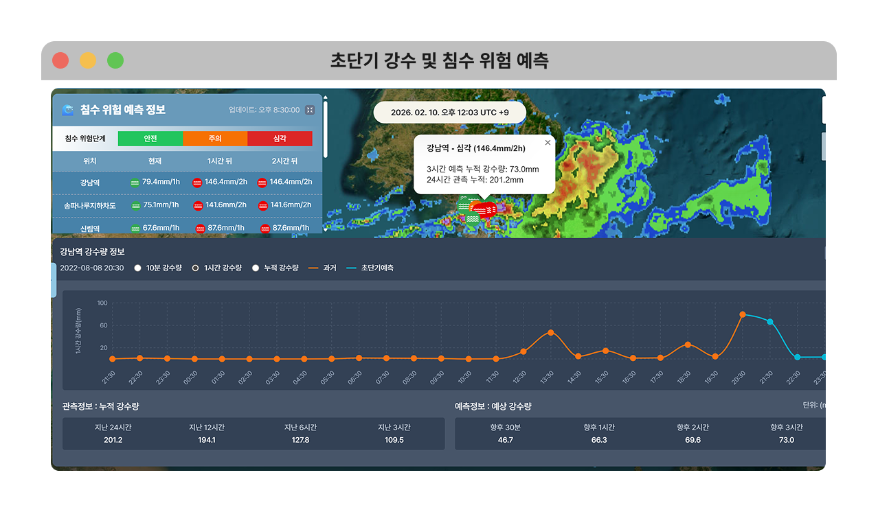
Ultra-Short-Term Precipitation & Flood Risk Prediction
Combining AI and IoT sensors to generate high-resolution data, predicting and detecting localized hazardous weather that conventional systems cannot see
- 10-minute interval ultra-short-term precipitation forecasting
- Identify flood risk areas
- Hazard notifications
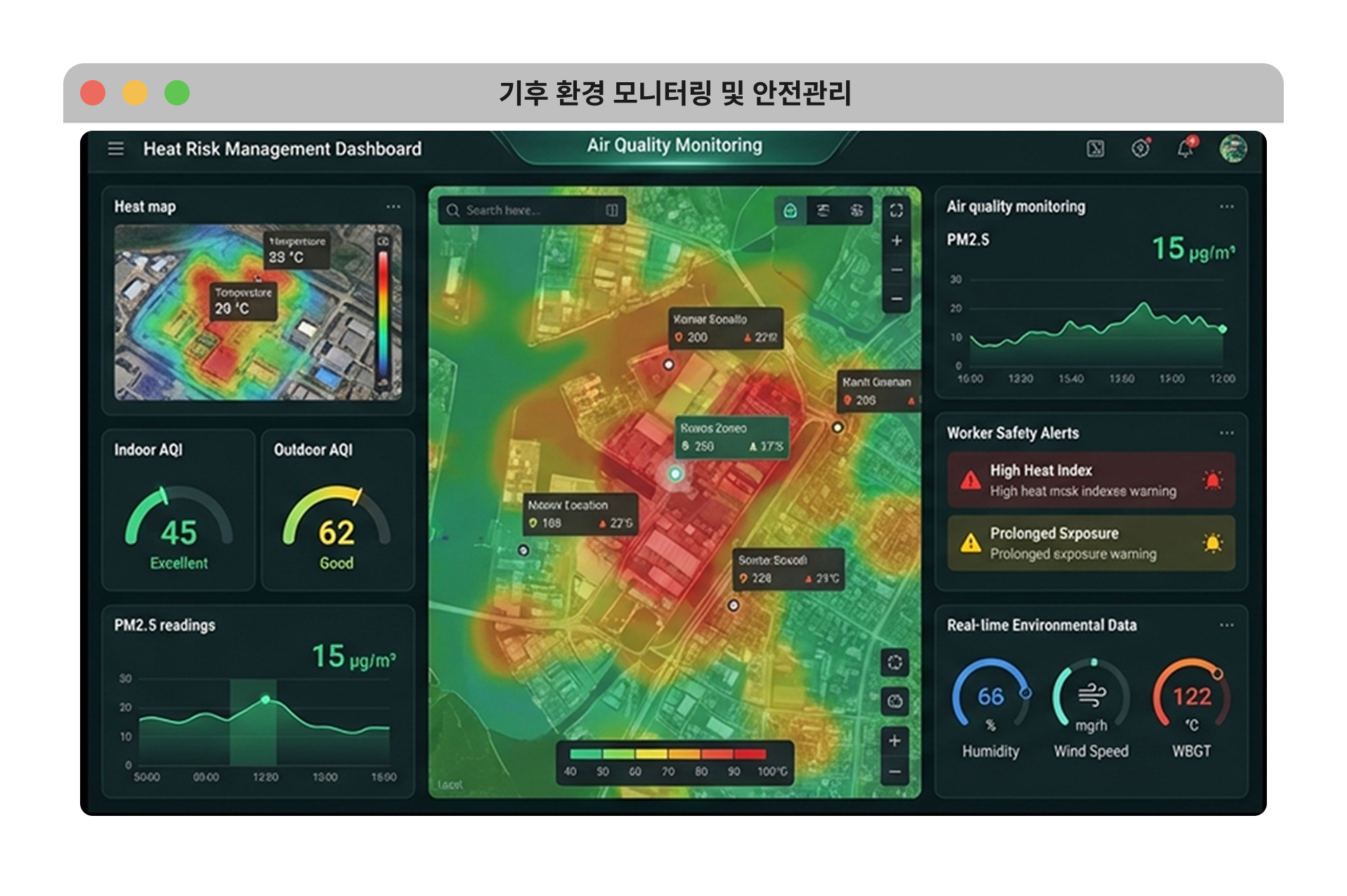
Climate Environment Monitoring & Safety Management
Real-time monitoring of work environments including heat stress, air quality, and noise — protecting people and automatically managing environmental risks

Adding Confidenceto Your Decisions
Make Reliable Decisions with AI-Ready Climate Data
Partners Who Trust Us




















_1_aqdij0AeQgMlnF36oEVgl.png)





We are bridging the global climate information gap by delivering climate intelligence to places previously unreachable.
Delivering climate intelligence from where observations reach to where they don't.
Bridging the climate information gapusing satellite observations and AI
Proven Technology, Acclaimed Climate Intelligence
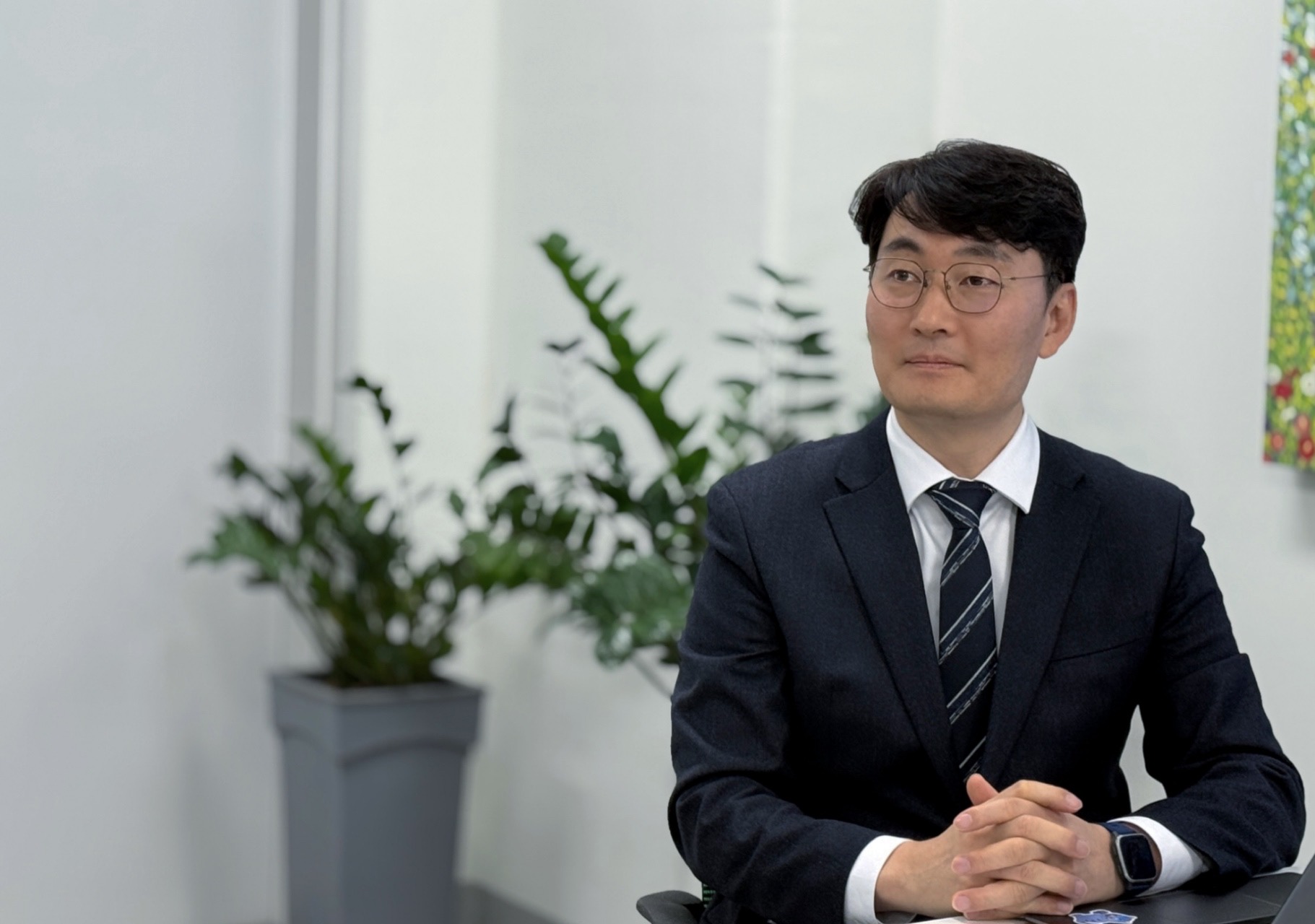
DI Lab CEO: Providing Climate Intelligence for Critical Decision-Making
On the day of the 2007 Bukhansan lightning accident, DI Lab CEO Myung Kwang-min knew exactly how strong the approaching lightning was. But there was no way to deliver that information to nearby people when they needed it most...
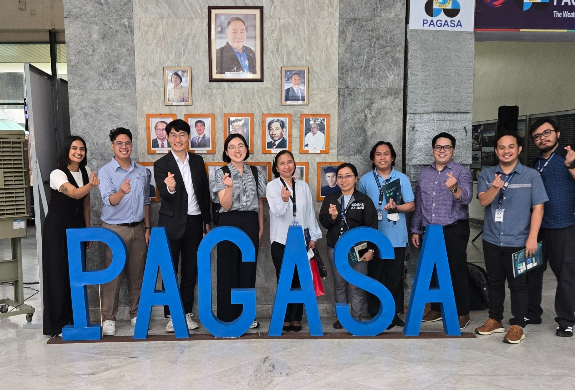
Selected for KOICA Creative Technology Solution (CTS) Program
DI Lab (CEO Myung Kwang-min), a Korean climate tech innovator specializing in AI-based meteorological and environmental analysis, has been selected for the '2025 KOICA Creative Technology Solution (CTS) Seed1 Program'...

WCE 2025: DI Lab Wins Prime Minister's Award 🏆
We are thrilled to share the highlights of our incredible journey at the World Climate Exhibition (WCE) 2025, held in Busan! 🌏
Start Your Climate Risk Assessment Now
Add confidence with DI Lab's fast and precise AI decision-making engine
Connect with our team ↗